• Welcome to OGBoards 10.0, keep in mind that we will be making LOTS of changes to smooth out the experience here and make it as close as possible functionally to the old software, but feel free to drop suggestions or requests in the Tech Support subforum!

Awesome Map Thread

The closest "town" to where my wife is from is listed and the population there is only 238. I would never think of it as liberal. Or conservative.
 
Seems like you would never think of it at all.
 
Tangier, VA is literally disappearing from sea level rise and it's the most conservative town in VA. Whoops.
 
https://www.brainpickings.org/2017/10/09/w-e-b-du-bois-diagrams/

When thirty-one-year-old W.E.B. Du Bois (February 23, 1868–August 27, 1963) heard that the World’s Fair to be held in Paris in 1900 would include a special exhibition on the subject of sociology, he saw in it an opportunity to open the world’s eyes to what had been occupying him for nearly a decade — “the American Negro problem.” In The Autobiography of W.E.B. Dubois: A Soliloquy on Viewing My Life from the Last Decade of Its First Century (public library), he recounts:
I wanted to set down its aim and method in some outstanding way which would bring my work to notice by the thinking world.

Since he became the first African American to receive a doctorate from Harvard, Du Bois had amassed a formidable set of statistics on the socioeconomic plight of black people in America in the decades since the transition from enslavement to freedom. But Du Bois had one pressing problem: How would he make statistics fit for an exhibition and compelling enough to compete for attention with such marvels of invention and showmanship as the talking films, panoramic paintings, escalators, and world’s largest refractor telescope, all of which made their debut at the 1900 Paris Exposition?
He decided to visualize his data in a series of artful, striking diagrams that beckon both the intellect and the imagination, dispelling sociocultural misconceptions with statistics in a viscerally arresting way — a way “to give, in as systematic and compact a form as possible, the history and present condition of a large group of human beings.”

----------

There's plenty here to unpack. I've posted the maps.

dubois5.jpg


dubois25.jpg


dubois24.jpg


dubois7.jpg
 
A graphic designer would absolutely cut off PA's chimney and give it to NY.
 
Self face palm moment. I just realized that the UP is connected to Wisconsin.
 
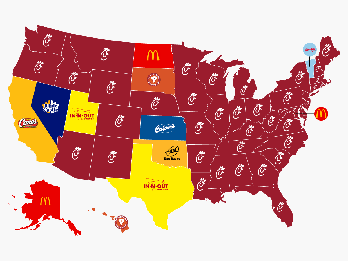
I feel there should be further color differentiation between AK/HI and the continental states.
 
Back
Top